05 November 2010

Great Sand Dunes and Points In-Between

Photobucket

We headed out on a drive around parts of southern Colorado this week, with Great Sand Dunes Park as our eventual destination. Gorgeous weather, warm and sunny, and it seemed as every mile's scenery was more breath-taking than the one before. A fabulous trip. We covered enough distance to justify an overnight stay in Canon City, and while there, had a nice dinner at Merlino's Belvedere, an Italian restaurant we remember fondly from visits many years ago.

Photobucket
Joe had the lasagna

We took a "back" way to Canon City, rather than the faster but much more brutal Interstate route. We worked our way south along the western edge of the plains, going through Bennett, Kiowa, Elbert, and finally Colorado Springs, where we headed south on CO 115 for Canon City. It was a lovely drive, the prairie could not have looked richer with all its golden tones. Add to that endless blue skies and dramatic mountain ranges in the distance...

-------------------------------------------------------------------------------

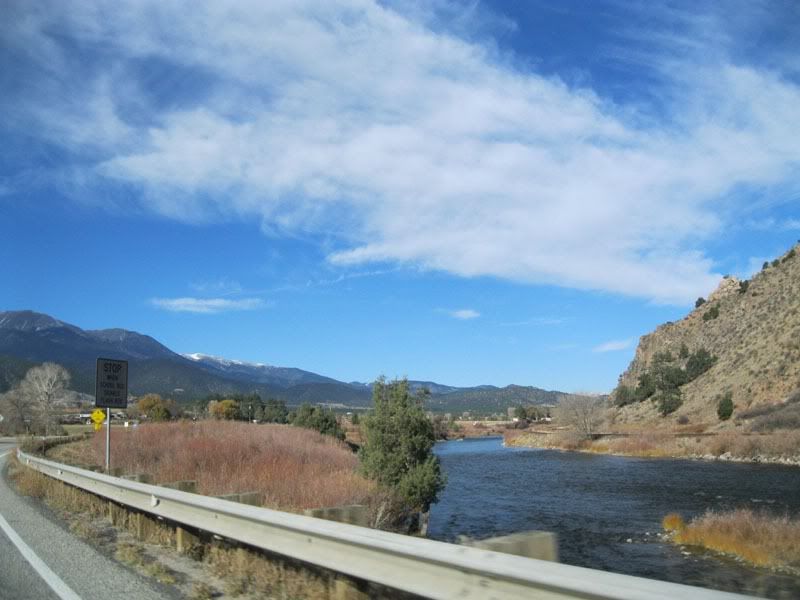
The next morning we continued our trek toward the Great Sand Dunes, beautiful, beautiful drive.Photobucket

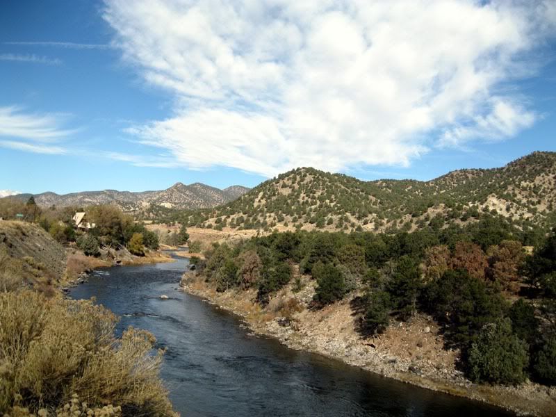
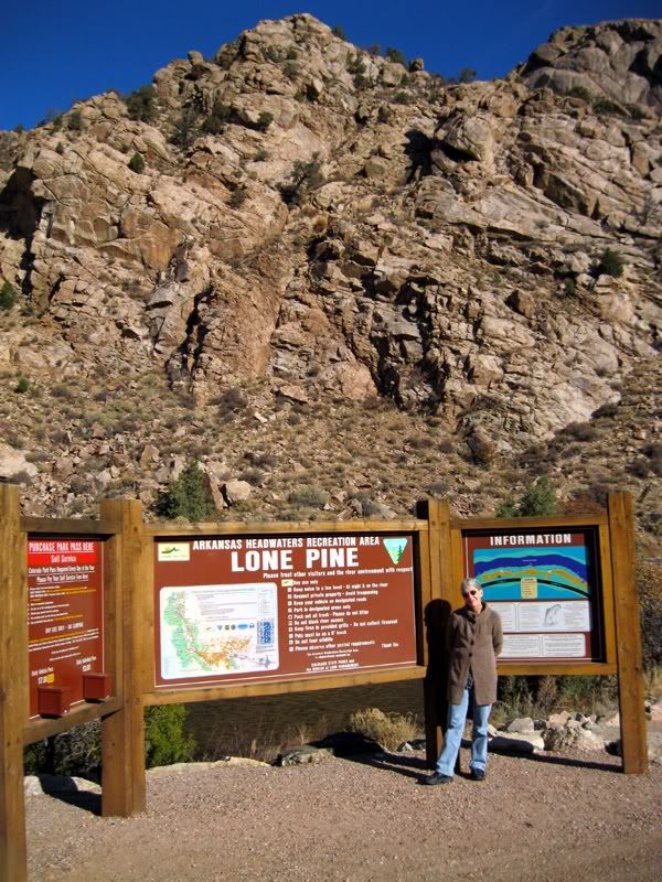
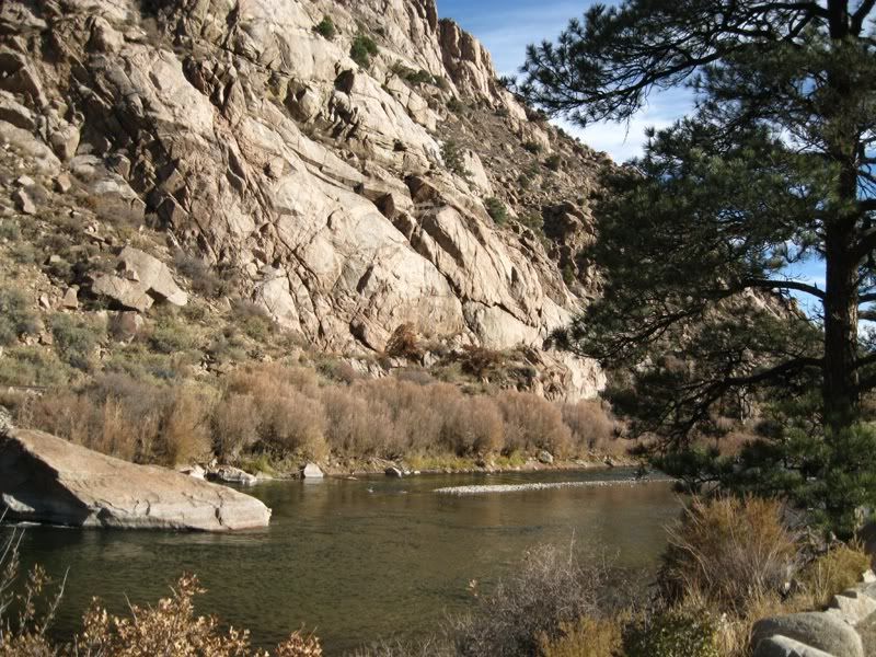
We followed the Arkansas River Valley for quite a way, but not usually this close to the river. Much of the road was through beautiful canyons...

Photobucket

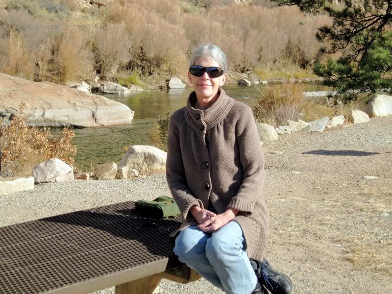
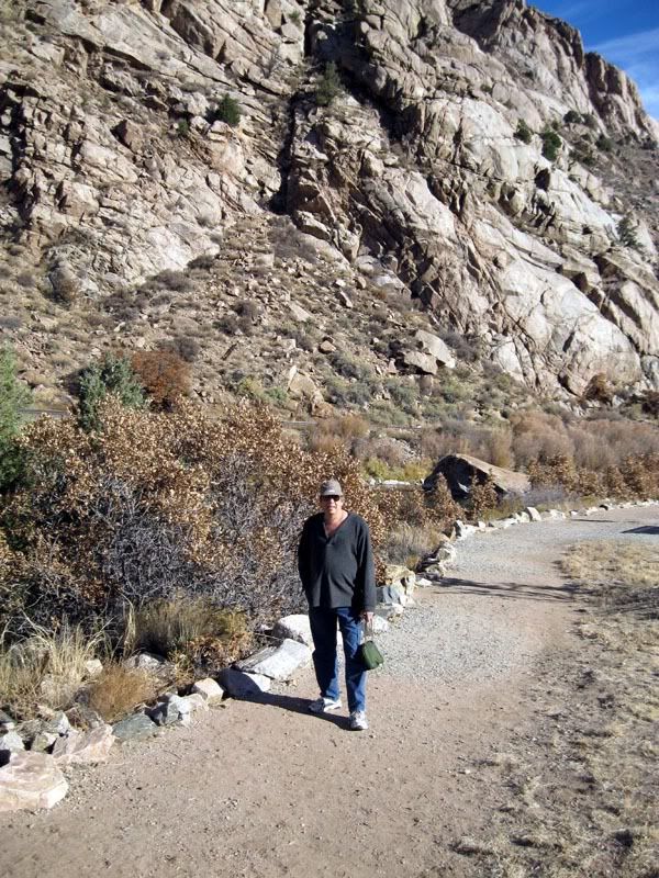
...like this one. All along the river there were very nice day use recreation areas which are part of the Colorado Parks System (Arkansas River Headwaters). $7 fee or pass required.This is one of those areas that we stopped in for a few minutes.


Photobucket

Joe taking a short hike around the area


Photobucket

the scenery was gorgeous...

Photobucket

...in every direction

Photobucket


-----------------------------------------------------------------------------------

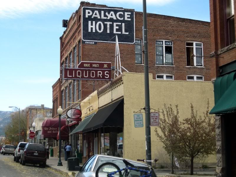
We stopped in Salida for lunch
Photobucket

and took a drive around the historic downtown area before continuing on

--------------------------------------------------------------------------------
Photobucket

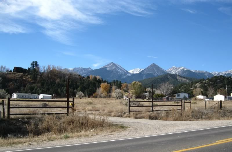
beautiful view from the road

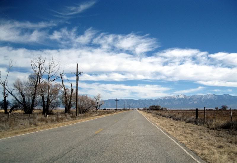
Our drive took us through Ponca Pass, where we crossed the divide, then we descended into the San Luis Valley. The drive through the valley was mesmerizing, not only from the sheer beauty that surrounded us, with mountain ranges off to both the east and the west, but also from the strange "focusing of the mind" that accompanies driving a road that is completely straight for seemingly endless miles. Which CO 17, the road we took south through the San Luis Valley, certainly was.

Photobucket
another straight stretch of road, Alamosa County Lane 6, heading toward the dunes

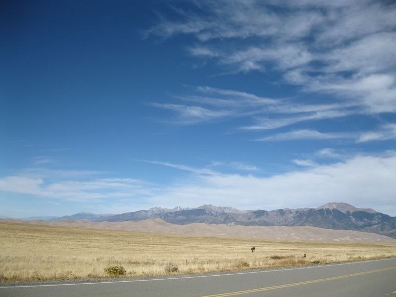
The Great Sand Dunes were our destination, at 700+ ft, the tallest dunes in N America. The dunes cover about 30 square miles (11% of the total sand field area), along the western slopes of the Sangre de Cristo mountains, at the north east corner of the valley.

The sand itself was produced by the San Juan Mountains, located about 60 miles away on the opposite side of the valley. Pulverized rock = sand. Over millions of years of wind, abrasion, thaw/ freeze cycle, etc, the sand was created and then blown by prevailing winds across the San Luis Valley and into the sand field area against the Sangre de Cristos. Other winds blow the sand dunes back onto themselves, creating tall dunes and crisp, sculpted edges on some sides.

That is the simple explanation of where the sand came from, the reality is a bit more complex. Lots of information at the Park's website.

Photobucket
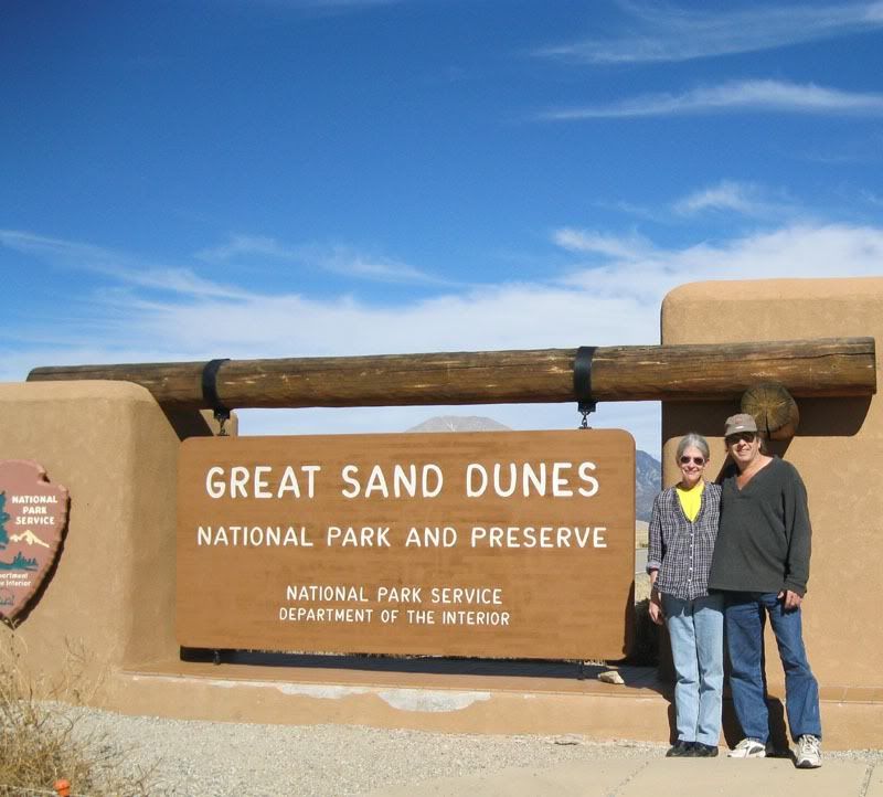
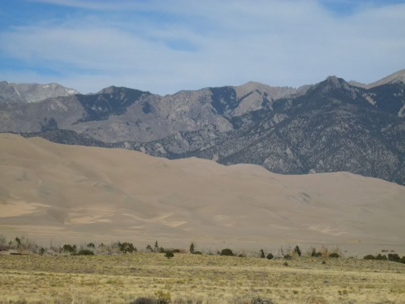
The dunes are visible from quite a distance as a much lighter band of color at the mountains' base. This picture was taken from the park entrance, so not too far from the dunes

Photobucket
closer-in view of the dunes from the road


Photobucket

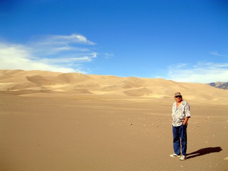
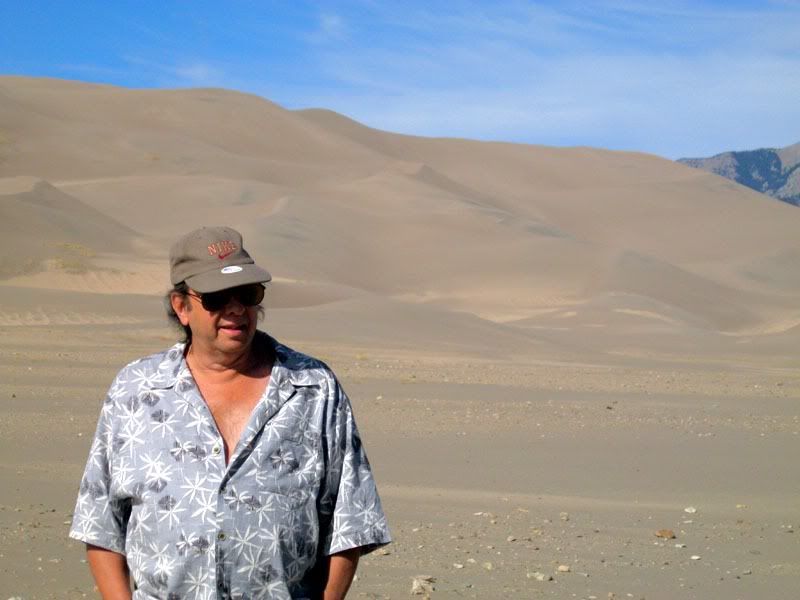
The dunes themselves are accessible to visitors on foot and with pets on leashes. 24 hour hiking permitted, as is camping on the dunes. Sledding and skiing on the sand are supposed to be popular, although park literature said conditions are best after precipitation and that cardboard doesn't work. We didn't try anything exotic, but we did go for a short hike in the sand

Photobucket
it was warm in the sunshine with a rather cool but gentle breeze blowing across the dunes--what a perfect afternoon for a visit!


-----------------------------------------------------------------
we were greeted upon our arrival at the dunes parking area, by a magpie, who was very busy picking off and eating the bugs stuck to the front of cars parking. The bird was quite adept at knocking the crusted-on bugs free so they could be consumed, and its antics were entertaining. Here is a short video, as I filmed, the bird moved underneath the car and out of view.


------------------------------------------------------------------

All too soon, it was time to point the car in the direction of home. As late as it was, and as many miles as we had to cover coming home from the dunes, we continued south and west until we got on I-25 at Walsenburg, which we took all the way home. Hit some gridlock in Denver rush hour, but otherwise the trip was fine.

Photobucket

back to reality


-------------------------------------------------------------------
Here is a short video of a neon sign in Canon City that Joe found intriguing and wanted to share:
02 November 2010

Trip to RockCliff Cabin--1996

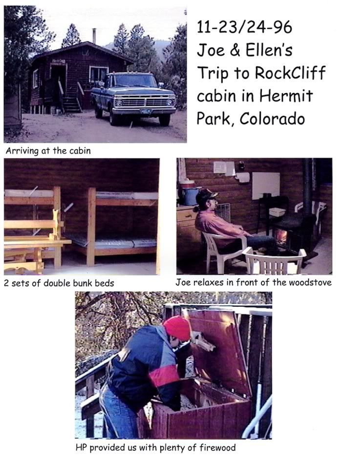
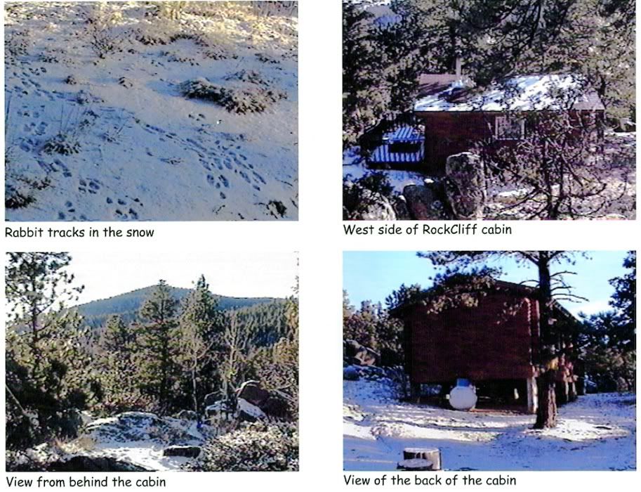
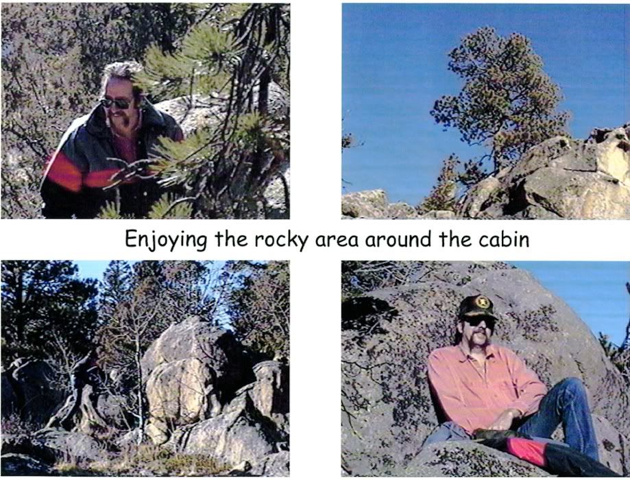
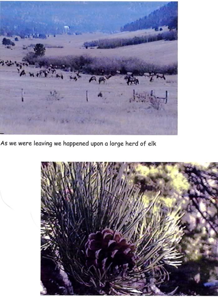
This post is about stepping back in time, to a blog post of sorts from 1996, which is included at the end of this post. 
The "post" is a short booklet about a weekend trip to a cabin outside Estes Park, made so we could show family and friends what the place was like. In the days before easy internet access and sharing. As I looked through the booklet after coming across it recently, it immediately jumped out at me as a blog.
And, things have come full-circle, as blogs can now be printed as booklets...
---------------------------------------------------------------------------------------------

The version of this post that survived for 14 years was the  "analog" one--the hard copy. Fitting, as it was the intended end product. The digital version is undoubtedly stored on a stack of floppy disks stashed away in deep storage; surviving perhaps, but unreadable by modern drives and software. Of course, 14 years ago that data was just as unreadable by the computers of the day unless they had PageMaker software, which of would allow a WYSWIG view of sorts in a print view setting...unbelievably crude by today's standards, using low-res video cards and monitors. Well, it all made digital sharing impractical, but those tools did allow me to create the RockCliff Cabin blog post as hard copy, which like I said, was what I was trying to do.
The pictures in the account are stills grabbed from an analog camcorder using a battery-powered device called Snappy which plugged into the computer's parallel port and  the camcorder's  video output.
Photobucket
Digital cameras and scanners were quite crude and expensive in those days, and I didn't have access to either, but I was reasonably satisfied with the Snappy set up, and used it for several years.

The pages were laid out in PageMaker and printed on special 720 dpi resolution paper on what was probably the first Epson Stylus printer, the P860A Color II.
Photobucket
The 860A was quite advanced in its day, the only printer offering the "high resolution" of 720 x 720 dpi. I remember we'd been watching printers closely at the time, because I really wanted a way to share and archive some of the stuff I was creating on the computer. Our printer up until then (1995) had been a tractor-fed dot-matrix, so adding a color/ ink jet instantly elevated printing to a whole new level. The printer was hideously expensive, as were the supplies, and the results were slow and often flawed, but I nonetheless loved that printer. And we kept the dot-matrix for documents for several years, so the cost was manageable. 

---------------------------------------------------------------------------------------------

RockCliff Cabin is in Hermit Park, a very nice wooded recreation area in some hills outside Estes Park.
Hermit Park is currently owned and operated by Larimer County, but in 1996 it was owned by Hewlett Packard, and used as a perk for their employees. Weekends at the cabins were awarded by monthly drawings, and we were lucky enough to win quite a few stays back when Joe was eligible. The cabins were somewhat rustic and fun, set in semi-isolated lots in beautiful wooded areas. They had a propane heater, cooking burners and chandelier; small wood stove, and an outhouse. Firewood was ready to go in a big bin outside, inside was a table with benches, and built-in bunkbeds. Curtains on the windows, otherwise, bring water, food, linens, dishes, sleeping bags, and whatever else was needed. It was a fabulous place to spend a weekend, we always went in the fall, spring or winter, preferably in colder weather. 

In later years, Agilent, who inherited Hermit Park from HP, eliminated the wood stoves. I think we went once or twice after that change, but we missed being able to enjoy building a fire in the stove then an evening toasting marshmallows...the propane heaters were undoubtedly safer, more convenient, required far less maintenance...but they completely lacked the charm and novelty of the stoves, which we decided were a big part of the experience for us. 

Here are some pictures of the cabins today, they look as if they have been well maintained, and I am so happy to see that. They are a very nice place for a get-away, and now it's nice they're available to anyone with the price of admission, currently $60-80/ night.

----------------------------------------------------------------------------------------------
TRIP TO ROCKCLIFF CABIN (the booklet):

1

2

3

4

5
----------------------------------------------------------------------------------------------

Guess this post was destined to be blogged online, it just took a few years for it to happen!


30 October 2010

Beautiful Autumn Drive

We did take a drive this week, just a short afternoon jaunt to get us out of the house. We started out initially heading northwest  this time, taking the road to Masonville, then continuing up to CO 14 on a beautiful road that wound through a steep canyon. From there we headed east and eventually wound up driving Owl Canyon Road, a road we've long wanted to explore. Very nice drive, after which we just headed for the Pawnee Grasslands, where we drove around until it was time to head for home.

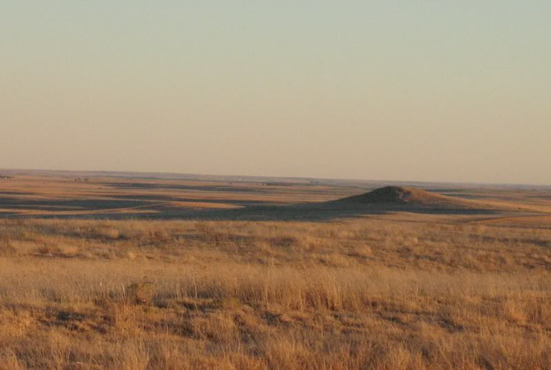
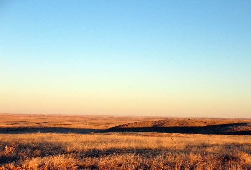
 It was a beautiful afternoon everywhere we went, and the golden sunlight of a late October afternoon, falling on the landscape of muted browns and gold on the prairie, was spectacular:

Photobucket

Photobucket
Pawnee National Grasslands

We saw two large herds of antelope on our drive through the Pawnee, and I even managed to take a short video of one of them:


apologies about the quality of this, I need to remember NOT to zoom with video. A few stragglers crossed the road just in front of us to join the others, so we pulled over to see if we could get a good picture. A few seconds into the filming, a dog (or something) barks, and the herd takes off...


The other notable wildlife we saw was a huge brown bird walking around not far from the road as we drove by; from its size we think it had to be an eagle. It was on the top of a rise that could be seen from quite a ways past, and when we stopped to turn around and look, we could still clearly see the bird's silhouette--it was that big! We've seen quite a few eagles flying or perched high, but haven't seen many hanging out on the ground.

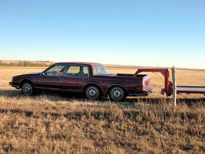
And, check out this very cool modified vehicle we encountered on the drive:

Photobucket
It's an Oldsmobile


20 October 2010

Agate and the James Cook Collection


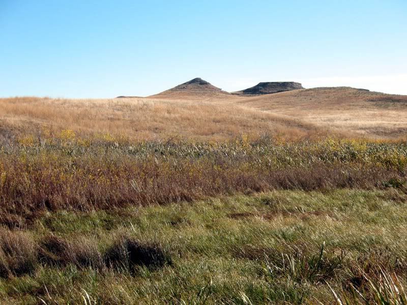
Photobucket

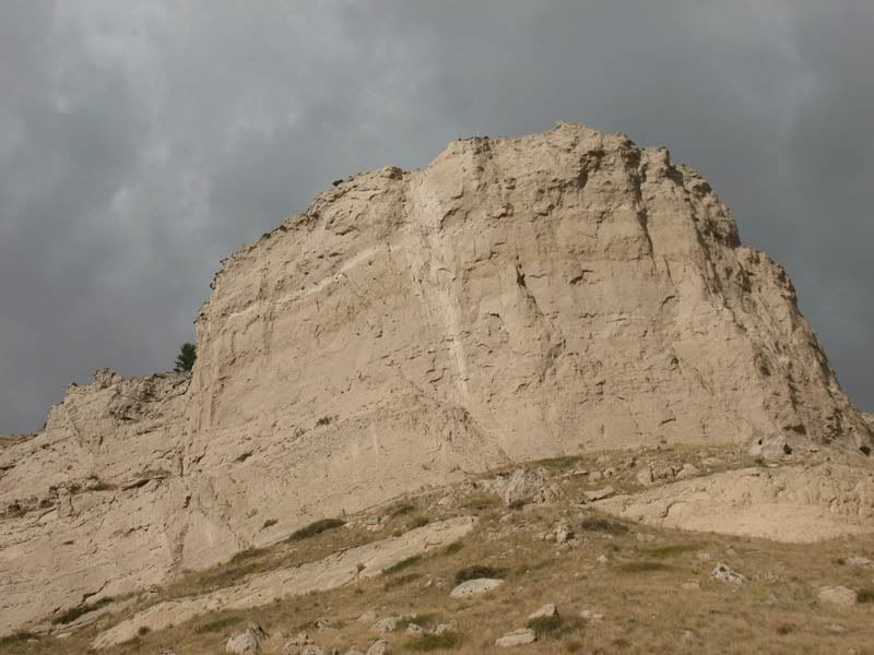
The two hills that make up the fossil beds at Agate National Monument

We took a trip today to the Agate Fossil Bed National Monument in western NE, about a 500 mile round trip. It was our second visit, our first was almost a year ago.

Agate is in the middle of nowhere, literally. There's a nice visitor's center with displays and very informative movies about what the fossil beds are all about. There are some very nice hiking trails to the fossil beds, and out to an historic cabin where early paleontologists bunked, with incredibly beautiful scenery every step of the way. And, at least on the 2 days we've visited, there is incredible solitude and peace, both times we had the trails completely to ourselves. It seemed as if we were walking along on a different planet...

Outside, on the hiking trail:
The Neobrara River runs through the monument, and part of the trail to the fossil beds is made up of a walkway and bridge across the river and surrounding marshland. 


Photobucket


Photobucket

Photobucket


Photobucket
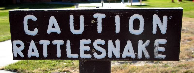
there were signs everywhere warning about the snake dangers. We kept a sharp eye out for them, but didn't see anything larger than a bug on our hike.

Inside, in the Visitor's Center:
Photobucket
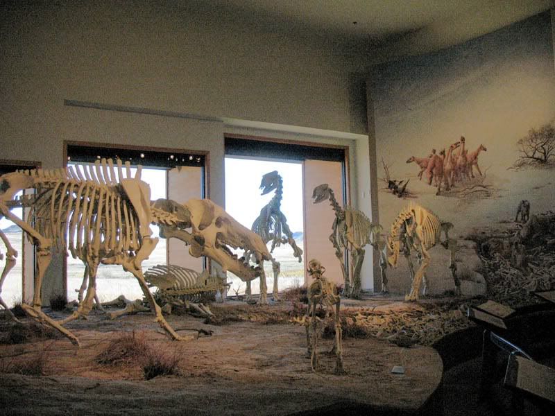
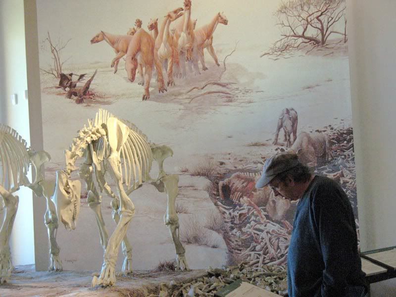
displays of the skeletons of animals whose bones were found in the fossil beds. These animals were early mammals (not dinosaurs) and many were carnivores, and few of their fossils have been found elsewhere.


Photobucket
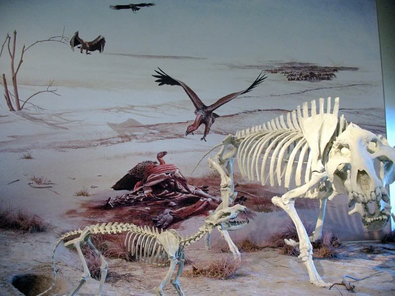
The bones collected and fossilized at Agate because it was one of the last wet spots as a giant sea that covered the area dried up, leaving the animals to eventually perish. The displays feature artists' depiction of those grisly times.


Photobucket
It is evident from the skeletons that some of these creatures were pretty fierce


Photobucket
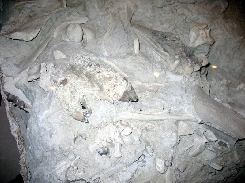
this is an actual chunk excavated from the fossil bed, showing the mishmash of bones the paleontologists were faced with. The chunk was wrapped in plaster soaked fabric for transport.

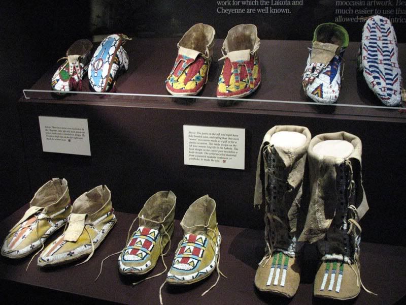
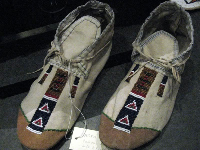
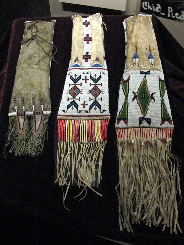
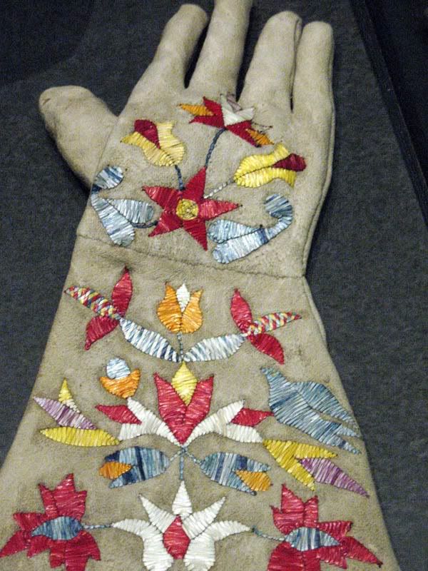
In addition to its important role in preserving the fossil beds, Agate National Monument is also the home of the James Cook collection, which include some amazing pieces of Native American art and articles of historical significance. The Monument is located on part of James Cook's original ranch, and he was a very important pioneer in the area and one of few good and trustworthy friends of the local tribes. That relationship resulted in many gifts to Cook showcasing some incredibly beautiful workmanship, and the well-preserved items on display are truly gorgeous. Sadly, some of the collection is made up of culturally and historically significant items given to Cook in the hope he could preserve them for future generations, as conditions for all the tribes deteriorated and they were forced onto reservations. At least the items we saw today did survive to the present, but so sad to think of the circumstances.

The Cook Collection was closed for renovation on our last visit, so this was our first chance to see it. The display area is very well done and conducive to photography, and we really enjoyed the presentation.

Photobucket
exquisite quill work (using porcupine quills) decorate these moccasins. The ones with decorated soles were made for ceremonial purposes


Photobucket
moccasins with glass bead decoration


Photobucket
these quill work-decorated bags are for holding pipes


Photobucket
more beautiful quill work designs


11 October 2010

Rainbows on the Prairie

Photobucket

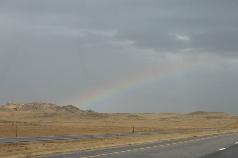
We took another autumn drive through the prairie yesterday, through SE Wyoming to Ft Laramie National Historic Site, then a revisit of Scottsbluff National Monument, followed by a rainy trip home via I-80 and -25. We had a fabulous time, despite or perhaps because, it was an unsettled and stormy day and so different from the dry, sunny days we generally seek out for our trips. Had the weather been much more severe, keeping us from getting out of the car at all or making driving conditions hazardous, things probably wouldn't have worked out so well. But our timing seemed to be magical all day, and we managed to do most of our driving between storms rather than through them. The picture above is of the day's first rainbow, taken in SE WY.


Photobucket

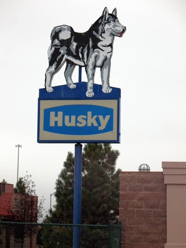
We stopped for gas and a drive-through breakfast in Cheyenne, and then slowed the car down enough to take this picture, a sign that was evidently preserved when an old Husky station was torn down (its now a mini-storage facility). I've seen the sign before when driving through here, and today I finally had the chance to take a picture.


Photobucket
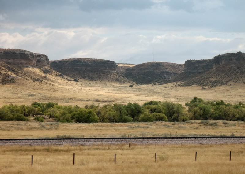
scene along the road between Chugwater and Wheatland, WY


Photobucket
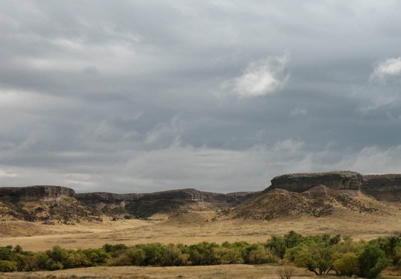
another photo from the same stretch of road, the clouds adding massive drama to some already breathtakingly beautiful scenery

Fort Laramie, WY

Our first stop was at the Ft Laramie National Historic Site. It was our second visit, our first was almost a year ago. 


Photobucket

Fort Laramie consists of buildings in various stages of rehabilitation, some with rooms recreating different periods of fort life. Some of the buildings are no more than stone foundations, some are mere wall remnants. It is an interesting place to walk around, and we spent a couple of hours doing just that on our last visit. The area surrounding the fort, with the convergence of the Laramie and the North Platte Rivers, is also very scenic.


Photobucket
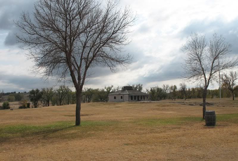
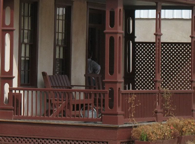
a porch on one of the houses at the fort


Photobucket
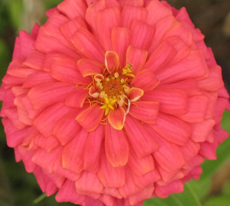
a hardy zinnia in one of the flowerboxes in front of the porch. It and a couple of similarly-hardy snapdragons were the only color left in the plantings


Photobucket
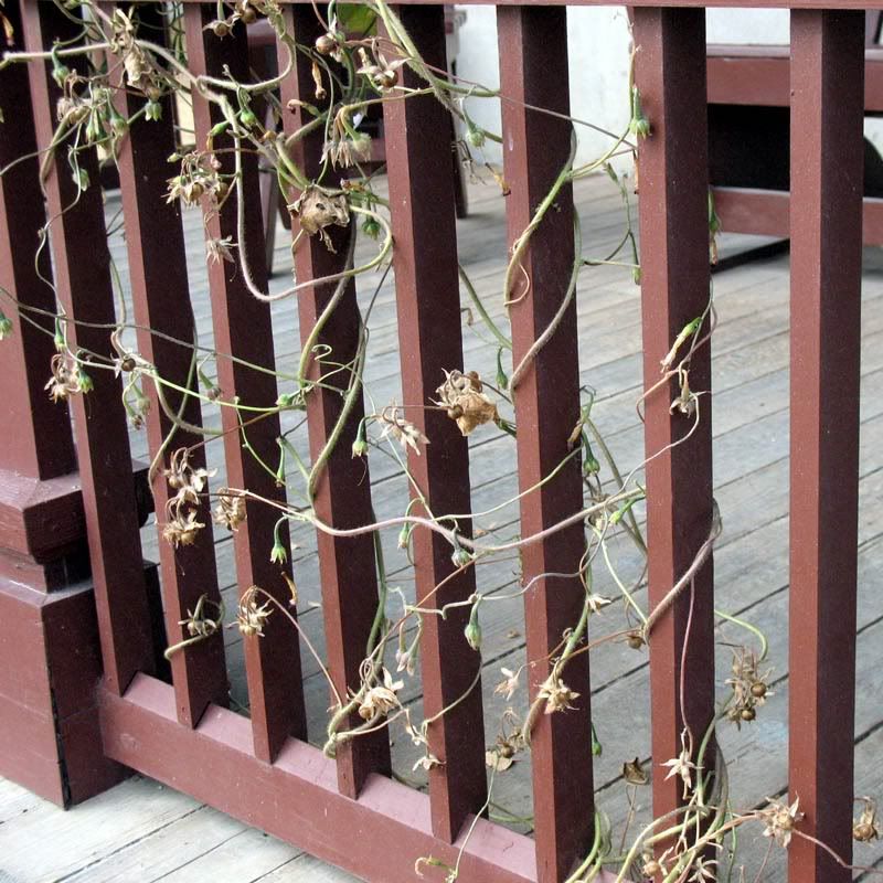
vines growing up the porch railings are drying out


Photobucket
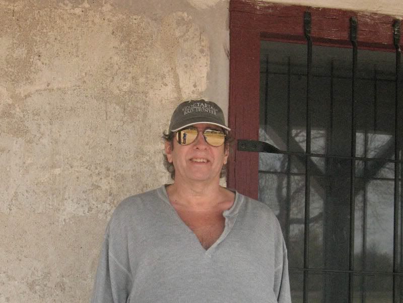
picture of a reflected Ellen taking a picture of Joe...


Photobucket
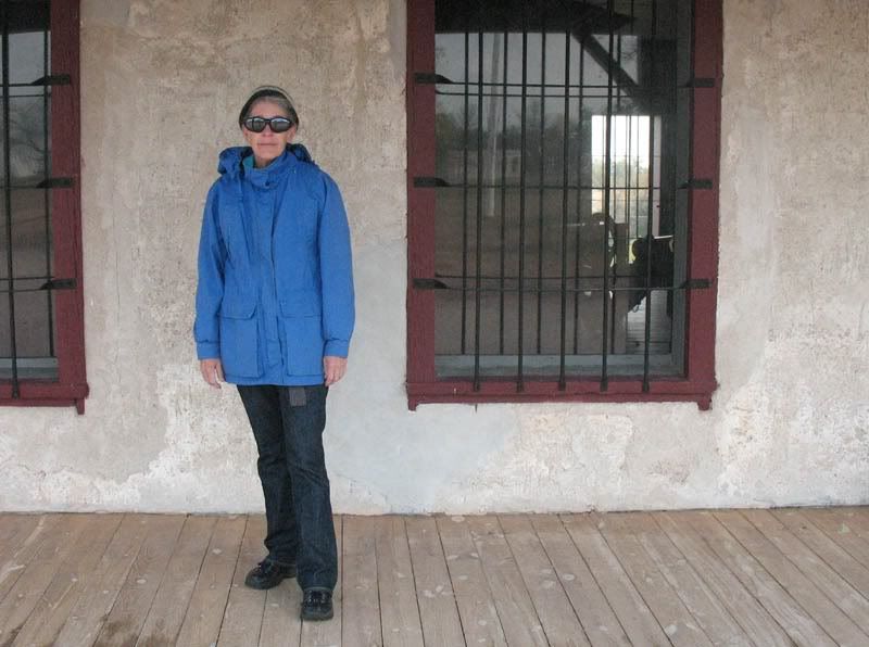
...who then returned the favor. I'd planned for a picture of one of my new outfits, but it was so windy I wound up sliding this coat on over it all, although one tie from the gray sweater is peeking out under the coat hem. For most of our time at the fort I had my hood up, it was that breezy. Not at all cold, but very very breezy.

We stopped for lunch at the Fort Laramie American Grill (FLAG), it was good, then we headed for:

Scottsbluff, NE

where we headed for the national monument, a return visit from just a few weeks ago and the subject of my previous post.
Photobucket

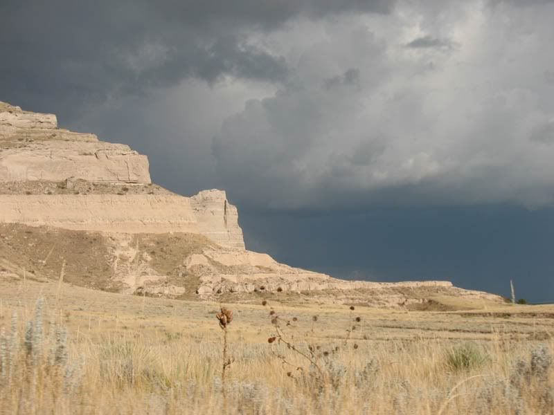
By the time we got to Scottsbluff, we could see that we were running into some storms, so we decided to see what we could see at the top of the bluff. Like our last visit, it was very windy on the top, but this time conditions seemed much more ominous. There were a couple of cars in the parking lot, but their occupants quickly scrambled off the trails and jumped in them as big, cold raindrops started to fall. We'd heard a few thunderclaps and seen a few lightning flashes on the drive up the hill, so it was way past time for these folks to be getting out of such an exposed situation. Anyway, they all took off down the hill, while we stayed in our car to watch the developing storm.


Photobucket

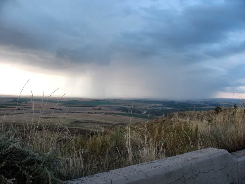
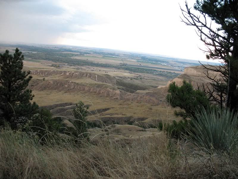
Rainy areas around the bluffs had a blue, misty covering that obscurred any ground details and had the appearance of a sea. At some points, it really looked like this bluff was surrounded by misty water. Then part of the mist would clear and houses, trees, etc, would be visible, looking a bit like a "shorline." A very cool effect!


Photobucket

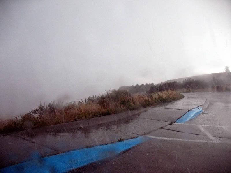
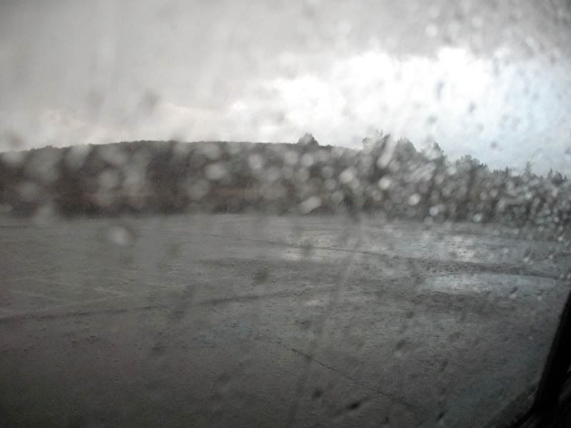
The storm intensified pretty quickly. For a short while it was raining so hard we couldn't see much beyond the hood of the car--and just a couple of minutes earlier we had been able to see a couple of hundred miles distance...


Photobucket

The storm produced small hail, maybe half-pea sized. We could hear thunder all around us, but had no sense of directionality of the sound's origin. Thunder in 360, it was great. Not a lot of lightning, but some, mostly horizontal-appearing flashes. Several of them together, usually, with the thunderclaps also seeming to be grouped in waves. We enjoyed the storm.


Photobucket

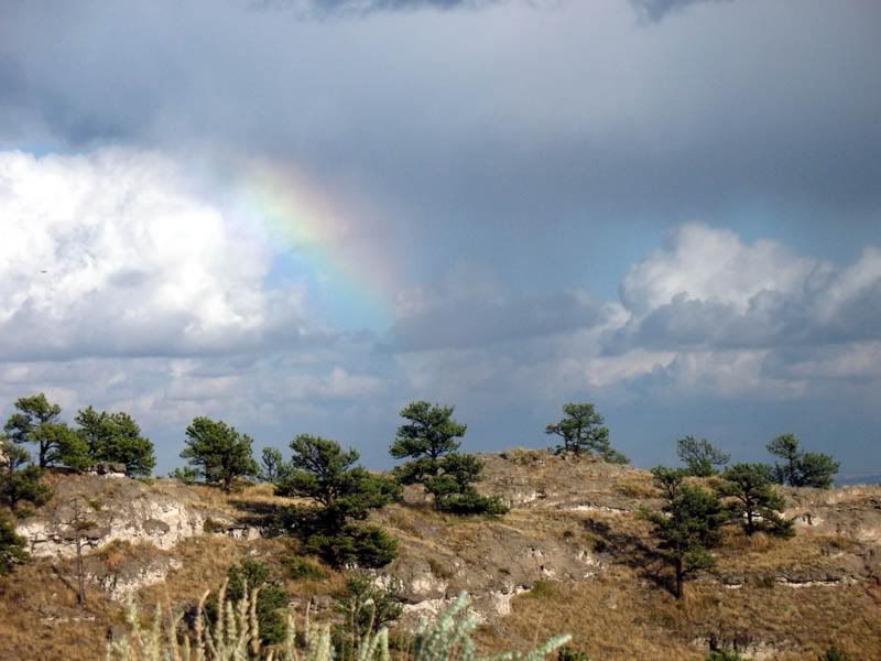
Before long, the clouds moved away, the sun came out, and we were rewarded with another beautiful rainbow. The storm lowered the temperature about 10 degrees, and everything looked and smelled that wonderful after-the-rain fresh. So crisp and beautiful!

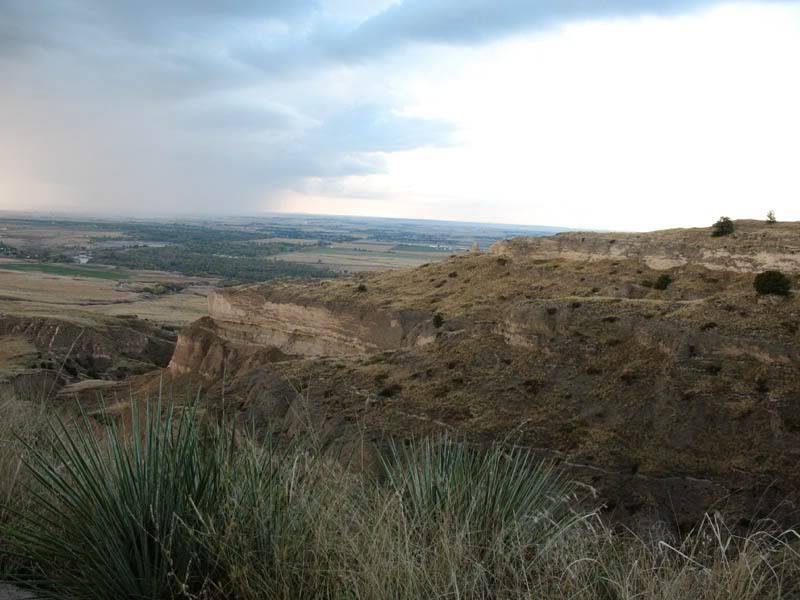
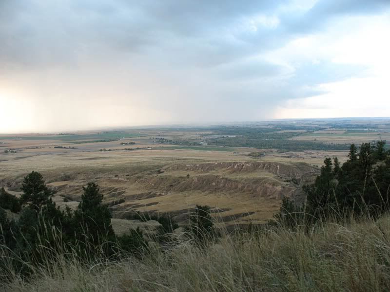
We watched the storm move away and others move closer. Too many thunderheads in the area to risk any hiking, so after a bit we headed down the hill and started for home. Here are some pictures I took from the road in the monument coming down from the bluff:
Photobucket

Photobucket

Photobucket

Photobucket

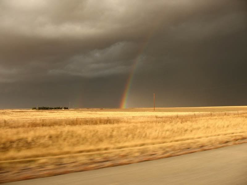
We decided to head for Kimball NE and then take the interstates home. It was getting pretty stormy by then, and it seemed like our best bet. We drove through a few storms but nothing too intense, thankfully. One storm did turn into a nasty looking dark cloud as we watched it recede in the rearview mirror and then it produced an incredibly bright and vibrant rainbow (a double rainbow if you look closely), which turned out to be the final one we saw on the trip.


Photobucket
rainbow seen from I-80, east of Pine Bluffs, WY